Sunday, June 29, 2008

There Are Good Geocaching Days and Then.................

My geocaching weekend started off well enough with my FTF on Friday. Saturday went pretty well and Sunday was, well, not so great.

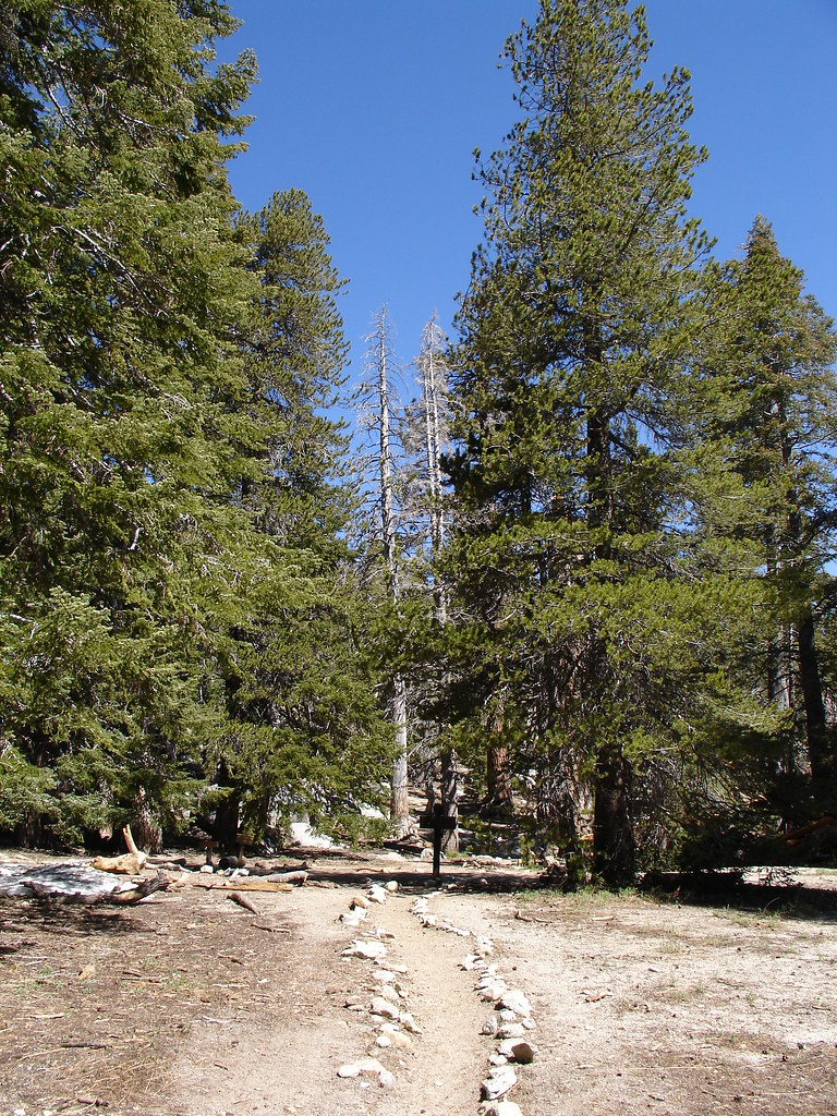
Saturday was beautiful. It was in the upper 80's and I went out in the evening for a little fun. I needed to replace my Buff Cache because the landscapers took it when they trimmed the tree it was in. I made a new container and headed out. I stopped by another one of my caches to rescue a really cool geocoin.

My first stop was to redeem a DNF from a couple weeks ago. The cache owner actually sent me a note so I knew right where to look. Have you ever tried to sign a log right next to the front doors of a supermarket on a Saturday afternoon? I used my "skills" to look natural and did just fine. I'm starting to notice that people don't really pay attention to what's going on around them. Muggles just seem to wander around and never look at anything.

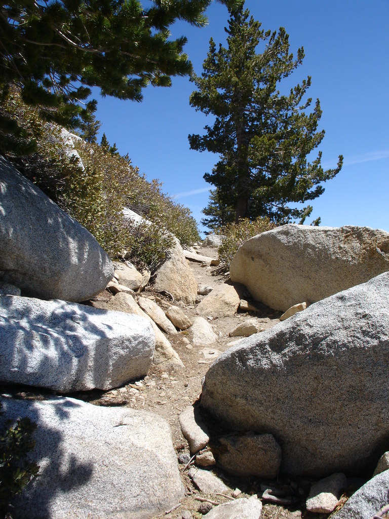
The next three caches were Mystery Caches. The idea was that you are playing a game of Geo-Golf. You are given the coordinates of where to start and then the direction and distance to the hole. There is a chain link fence that borders a trail for a couple miles. The geocaches were each under a fence post lid. Once you get to where you think the cache is, you start checking under the lids. However many tries it takes for you to find the cache is how many strokes you take for that hole. The first cache was a par 4 and I found it on my 5th try so for that hole I was one over par. I scored a hole in one on the next two thanks to some crooked fitting post lids. That was fun.

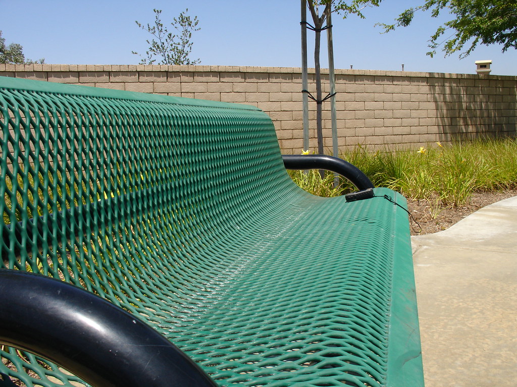
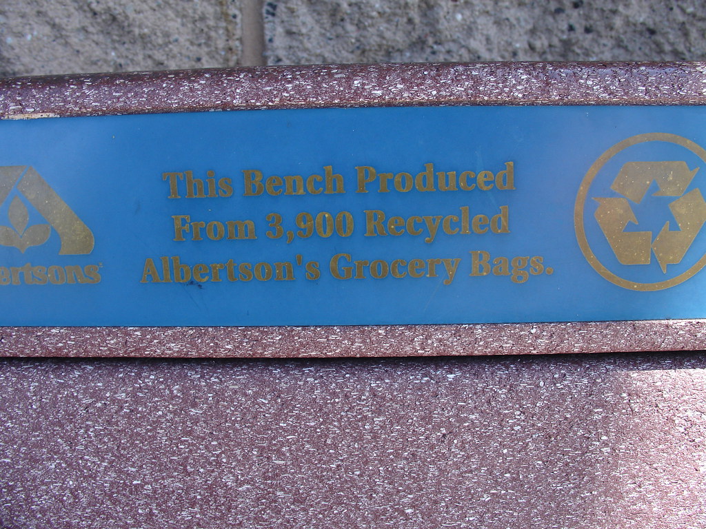
I DNF'd a cache that is supposed to be really tricky. It's rated 3.5 stars for difficulty and there were just too many hiding places for me to lock onto it. I found a couple more including one that is called 3900-Temecula. This cache was on a bench that had been made out of recycled grocery bags. That's pretty cool. They took 3900 old grocery bags and made the plastic for a bench.

I liked it so much that I went over to 3900-Murrieta. This time there was a muggle on his break sitting on the bench talking on his cell phone. I thought if I sat next to him, he would get annoyed and go somewhere else to talk. No such luck. He just turned his head and kept talking. I thought it would be funny to hold my camera off to the side and snap a picture of the two of us. He never even noticed. I took a look behind the bench to see if it was the same type of hide as the other. I didn't see it so I claimed the DNF and went home. (Looking at the picture of me from the side reveals facial wrinkles that I don't normally get to see. Bummer.)

Sunday was a different story. It was 95 degrees today so that added to the fun. I started off by returning to 3900-Murrieta for a better look. This time I had the freedom to look really well. I found nothing. I looked all over that bench. After giving up, I was driving away and wondering if maybe it was one of those little nano capsules and not a hide a key like the other. If it's a hide a key, it's gone. If it's a nano, I could have easily missed it because my mind was focused on the hide a key.

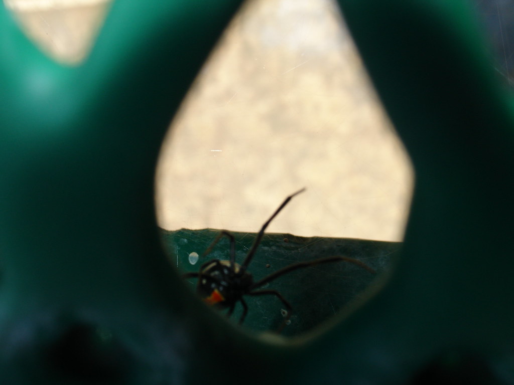
Next I headed over to a cache in a Temecula park with views of Palomar Mountain. You can actually see the observatory from way down in Temecula. This one I knew was one of those nasty little nano geocaches. I looked all over the bench at ground zero. It was hot and kneeling on the ground was not comfortable. The only thing I found was a big old black widow. I messed with that for a while trying to get a good picture. Keep in mind that the green stuff in the spider picture is the part of a park bench where your butt goes. Makes you want to check before you sit doesn't it?

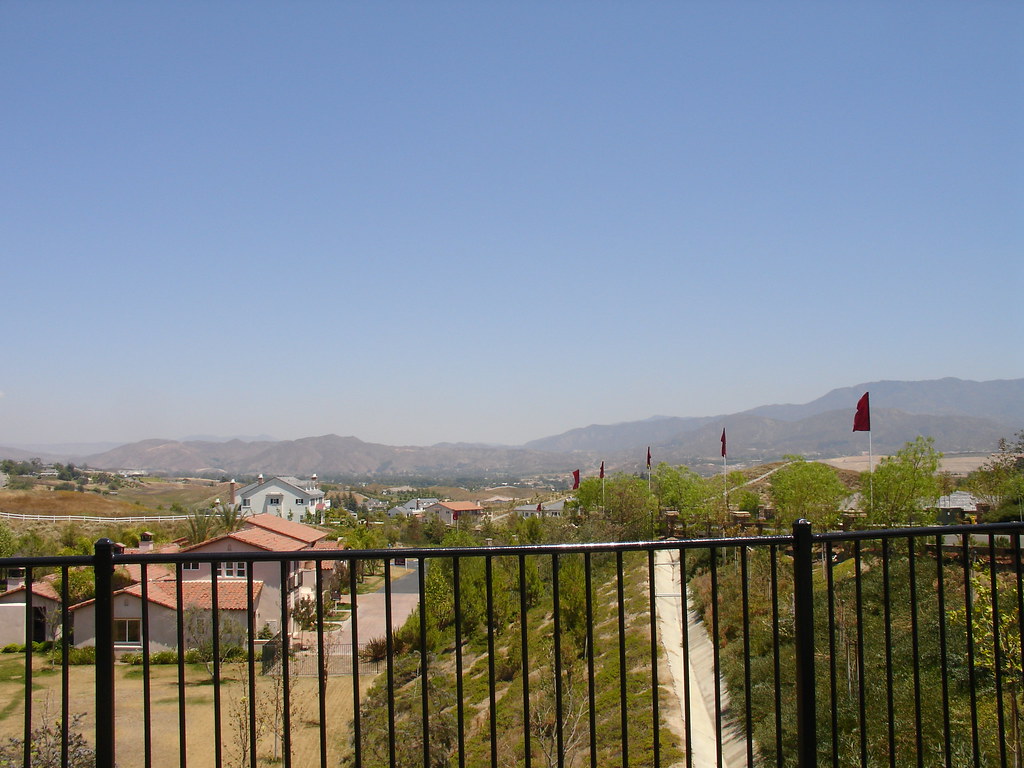
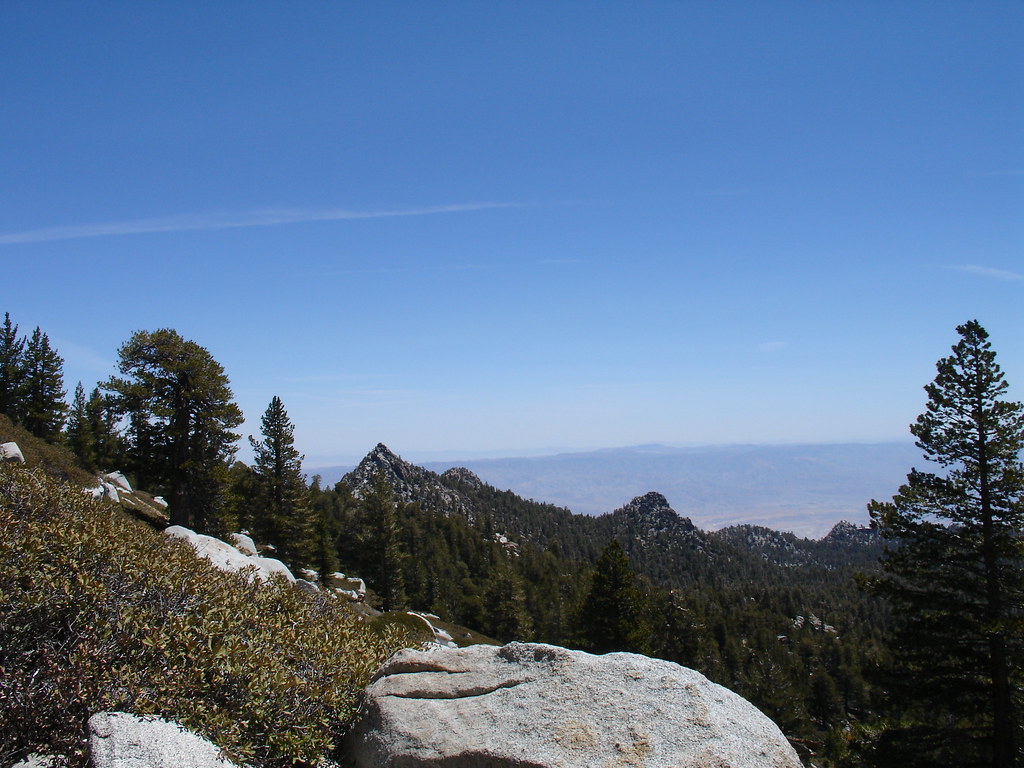
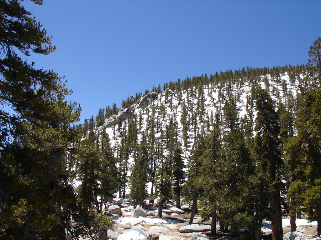
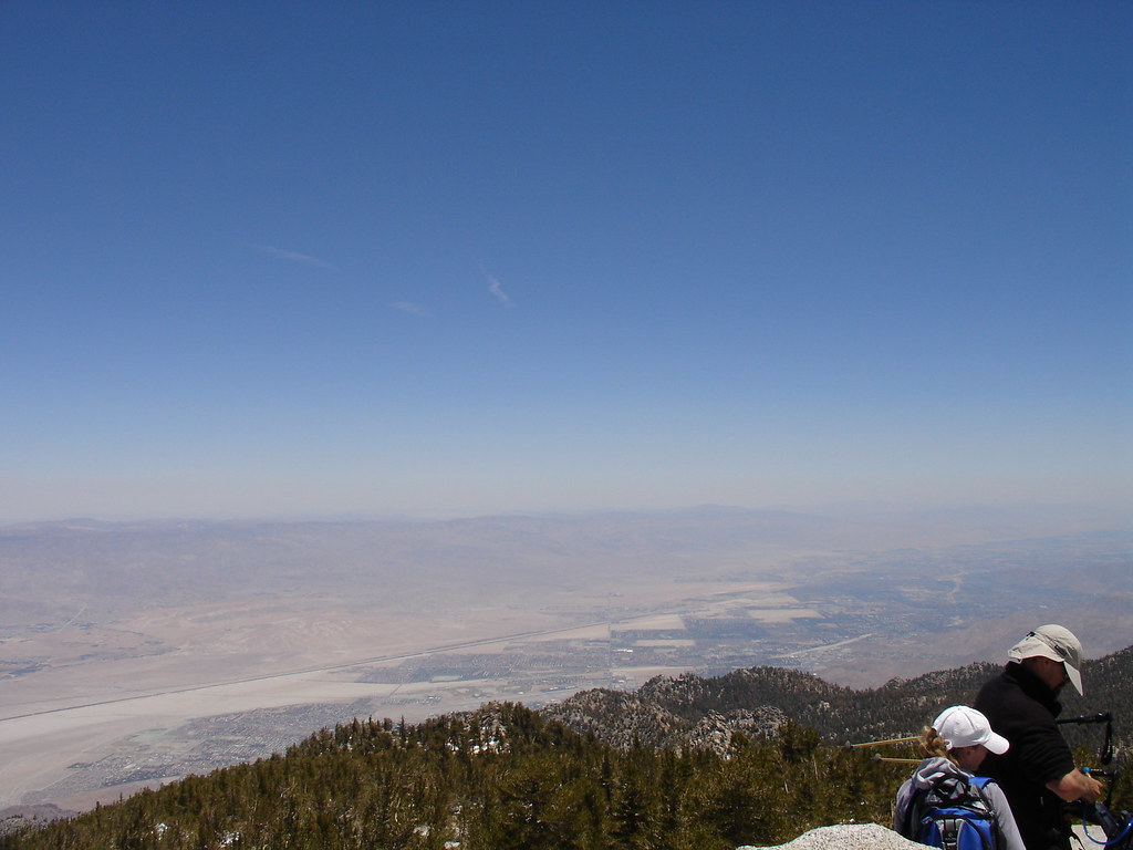
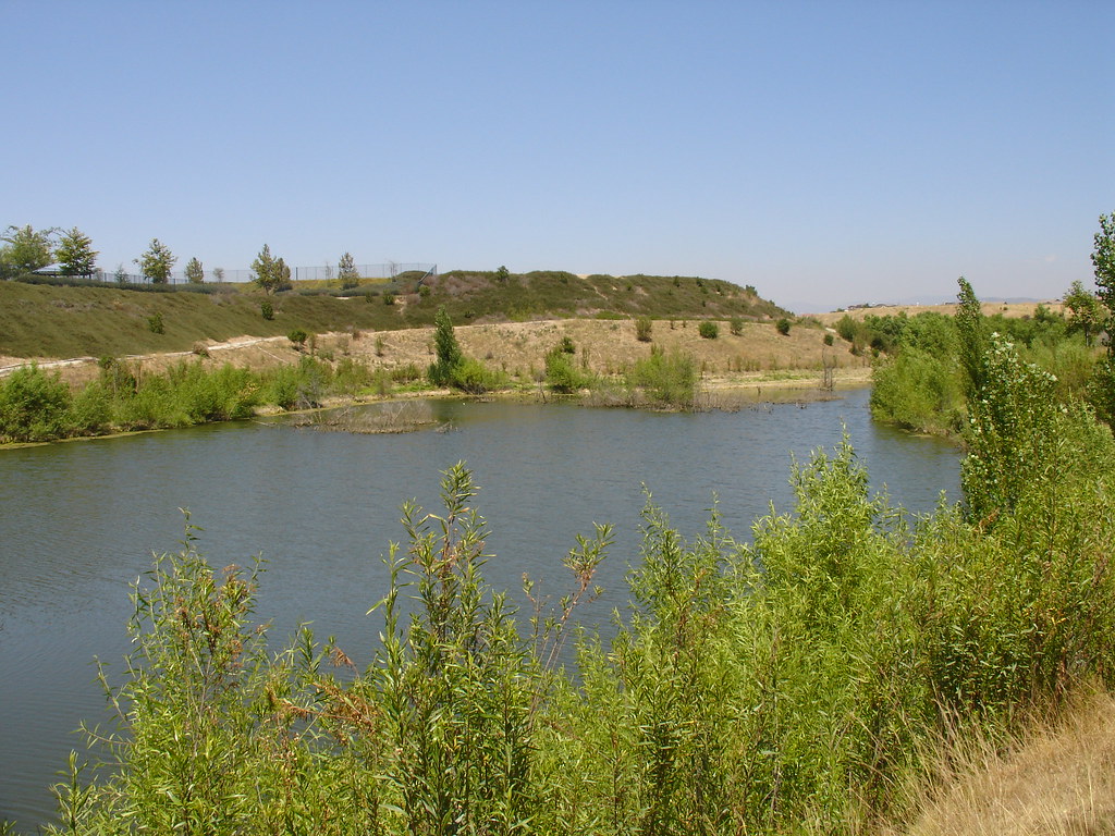
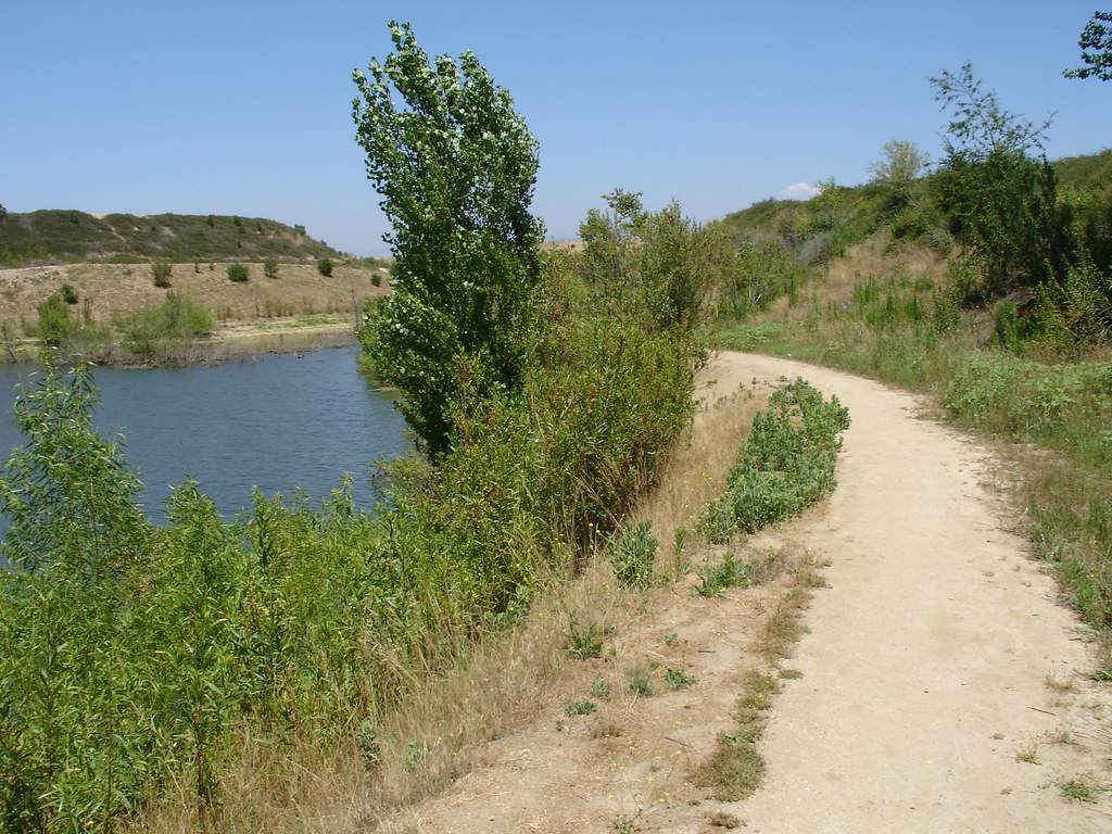
I headed to another park and made my only find of the day. My GPSr had me about 15 feet away from the cache. No one else had mentioned the coordinates in their logs and I was beginning to question my Garmin. I guess 15 feet isn't bad, but I like when it hits zero and I look down and there's a geocache. Call me spoiled.

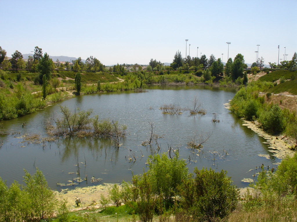
Next I went to a cache that is along a small pond. I took the wrong trail and ended up on the other side of the water, 150 feet from the cache. I walked forward to see if it was a loop trail but it seemed to go on for as long as I felt like looking. I turned around and headed down the other side of the pond. I was walking along a concrete drainage ditch and the cache listing said there was no need to leave the concrete "trail" to retrieve the cache. The GPS was pointing 25 feet straight down a hill towards the water. I looked around but came up empty. Now that I go back and read the logs, it sounds like the cache is down that hill. No thanks. I spent an hour walking in the 95 degree heat around that so called pond.

I had three DNF's and I was getting hot. When I got back to the car and saw the info for a nearby multi cache looking at me, I thought that I'd had enough and headed back home. I never found a suitable cache to put that geocoin in. There's one near work in San Diego that I might put it in next week.

The day ended up good in the end because we all went to Ruby's Diner and got fat on some good old diner food. I finished my fish and chips off with a nice root beer float and life is good.

Watch where you sit!


Friday, June 27, 2008

Lazy Cachers Give Me The FTF

On June 22 I got the e-mail notice of a new cache 9 miles from home. I didn't go after it because it had already been published for an hour and there have been some FTF parties going on lately. Also, I've been reading Dan Brown's Angels and Demons and man it's good. It's hard to go after an hour old cache when you are immersed in the nonstop action of this book.

Well, that day came and went and the cache had still not been found. No DNF's or anything. I'm still too busy reading to go. Another day and another day pass and this cache is still sitting there yelling at me.

Finally, today, 5 days later, I decide to go grab the cache after work. I just printed out the coordinates because I can't install Garmin drivers on my work computer. I find the road I need to turn on and pull off to the side to enter the coordinates in the GPSr. Once the numbers were in and if clicked on "Find" I was only 53 feet away. Nice shootin' Tex!

Just then a muggle van pulls in front of me and just sits there. I swear these people are sent to test me. The name of the cache is Almost a Winchester Mystery House. It's near a really odd looking house in the city of.................you guessed it, Winchester, CA. I snapped a few pics on my phone to try and look like I was just looking at the house. Finally the van pulls away.

I didn't spot the cache right away. The hint said, "Another term for love in tennis?" Stupid me, I was thinking love meant the score was tied, so I'm looking for a railroad tie or something tied to the fence. (That's the tennis knowledge you get growing up poor in Central Illinois.) I finally spotted the cache just before giving up. After seeing the hide and having The Wife correct my tennis foul, the clue made some sense. It was still a bit too cryptic and wouldn't have helped me in the hunt.

Once I saw the container, I realized that it was swag from one of my caches that TGR's made into a cache of their own. That's the second time I've found a geocache made out of geoswag from one of my own caches. That's always a good time.

Anyway, I got the FTF. The log was too tiny for me to compose my custom FTF message but I put a big old Hick@Heart on there for the world to see. Who knows why this cache had not been found, but I'll take it.


Saturday, June 21, 2008

It's H.O.T.

That's right, a new acronym just for you and it was coined by yours truly. It's H.O.T. Horrible Out There. H.O.T. I can't bring myself to go find a geocache. And the new mystery cache published by S&R is still making me pull my hair out. They added a clue that says, "Lbh pna "pbhag" ba hf; jr jba'g yrg lbh "ebg" njnl nybar." Oops, let me decrypt that for you, the clue says, "You can count on us; we won't let you rot away alone." Then, about a week later, they posted a note saying they updated the clue to make it easier. They put quotes on the words "count" and "rot". This might have helped me if I had not already been focused on those two words. It makes me think of ROT 13, or ROT 5, I even tried ROT 47. Nothing.

RoxieMama hid a new cache that I wanted to find on the way home from work but The thermometer in my car said 113 and I was not about to exit my extremely cold vehicle.

You may have figured by reading some of my past posts that I am not a fan of bumping into rattlesnakes out in nature. This is the time of year that I like to stick to the more urban caches and avoid venom in my leg. Below is a log entry on one of my caches posted by Holeva6.

June 8 by holeva6 (496 found)
Made the grab with the six year old, can't do that kind again with him. All was fine getting up there and getting the cache. getting down was a different story. come down a grade with a six year old on your hip because the rattling sounds are to many and you your stick and child on board are working your way down by going around the sounds. Get day for caching not so good a spot to put your self in. These will have to wait till winter or a day I don't give a dang.

When I read that, I imagine thousands of snakes lining the trail just rattling away and waiting for me to make a wrong move. I was planning on hiking up to that cache to rescue a travel bug that's been stuck up there for a while, but that poor bug might just have to wait until fall. I know some of you are thinking, "Just be careful and if you don't bother the snakes, they wont bother you." Well, thank you very much, and I'll make sure to not bother them by staying off of that hill.

So, It's one of those "trapped indoors" kind of weekends. It was already over 100 degrees when I left my gym this morning at 11:00. I do need to make a new M&M tube geocache to replace the one by the gym. As I was pulling up the other day I noticed the tree had been trimmed. I went over to see if the cache survived and sure enough, it was gone. That's my first cache gone missing. It hurts my heart to think of it being tossed into the wood chipper with all the rest of the trimmings.

Hopefully this heat wave will end soon and life can go back to normal. Until then, I'll keep trying to find indoor activities. I actually painted The Girls toenails. Ha ha, I'm not very good at that, but it was fun.

Saturday, June 14, 2008

Hick's Big Announcement

I have something I'd like to share. I've been offered and have accepted a new position at my job. My new job title will be Technical Trainer. My job will be to train our customers and field service rep's on how to operate and repair our equipment.

One great thing about this new position is that I will get to do some travel. I will travel throughout the US and Canada as well as do some international travel. I will average about one week a month on the road.

This will be an excellent opportunity to do some geocaching in new areas and fill in those stat maps with all the places I visit. It will also be fun to really get to put some miles on some travel bugs. I really enjoy moving these trackables and posting pictures on their pages.

Rest assured, I plan to bring my camera and post my adventures here to share with everyone. I start my new job on July 1st, however I don't know when or where my first travel will be. I'm really looking forward to this new challenge.

Thursday, June 5, 2008

PQ's: Finding Geocaches Along A Custom Route

I'm still learning about all the cool features available to me through Geocaching.com and GSAK. Last week I was planing my short vacation and I was asking myself, "How do I create pocket queries along a route?" I didn't want to find caches along some auto generated driving directions. I wanted to find geocaches along a route that I made up. Well believe it or not, I actually figured something out and it worked! I wanted to share it with you because I love my readers. (It's getting thick in here!)

The first thing you need to do is install and open Google Earth.

  1. In the tool bar click on "Add" and then "Path"
  2. The new path window will appear where you can title it and edit the appearance of the line you are creating .
  3. The mouse pointer will turn into a square target box.
  4. Hold the left mouse button and drag it to trace your path. (You can let go of the button to move the view and click it again and keep going)
  5. When you are done, click "OK" in the new path window.
  6. You will now see your path name n the "My Places" area on the left side of the screen.
  7. Click on the new path you created and then on the tool bar click File, Save, Save place as.
  8. Make sure to change the file type to .KML (Not .KMZ which is the default.)

Now to create the Pocket Query.
  1. Go to Geocaching.com.
  2. Click on "Find Caches along a route"
  3. Click on "Upload GPX/KML"
  4. Browse to where you saved the file and click "up load"
  5. Your new path will appear on the screen. Click "Preview" to see it on the map.
  6. Select the path by checking the box and click "Save"
  7. Click on the "Your created routes" tab and click on "Create Pocket Query"
  8. Select how far from your path you want to see geocaches and select the other filters as you normally would.
  9. Click "Submit information"

That's it! you now have all the caches within your custom path in a pocket query. From the manage pocket queries page, Click on "preview in Google maps" to see them.


You can see how this allows you to only grab the caches that you want and eliminate a lot that are too far from where you are going. (Unfiltered view below)


You may need to play with it a bit to get the points in Google earth down. It also seems that there is some difference in the location between Google earth and the Google maps on Geocaching.com. You my be able to correct this byadjusting your zoom level while creating the path.

I hope this is helpful. If you know of a way to improve on this process, feel free to link to this post and let us know.

Tuesday, June 3, 2008

Mount San Jacinto Summit Trip

I was excited for my 200 geocaching finds milestone. The virtual cache at the summit of Mount San Jacinto was going to be the perfect opportunity for a memorable experience. This trip did not disappoint!

The In-Laws are in town and The Kids stayed with them. The Wife and I left the house around 6:45 AM and made the one hour drive to the Palm Springs Ariel Tramway. There was no one in line and we were quickly at the loading area for the next tram. We made up two of the three total passengers on our way up to the 8,516 foot elevation of the upper tram station.

We only had 2318 feet to go to make it to the 10,834 foot summit of this second highest peak in Southern California. No problem, right? We hiked over to the nearby Long Valley Ranger Station and picked up a free yet required wilderness permit. I took this time to unzip the legs off of my pants and remove my long sleeve fleece shirt. The temperature was around 55 degrees and I warmed up quickly on the trail.

We followed the Southwest trail towards Round Valley. The trail was somewhat rustic and had lots of boulders and fallen trees to negotiate. We were in a beautiful forest of Jeffery Pine and huge White Fir. We followed the Round valley stream up towards the Western end of Round Valley.

We continued past a seasonal ranger station and a couple of campgrounds. We saw a beautiful meadow that just seemed out of place over 9000 feet in the mountains. The last chance for drinking water was a piped spring near the camping areas that said to filter the water before drinking. I'll stick with the 2 liters of water I brought in my Camelbak.

We had been in the forest for the first couple of hours and soon came to our first mountain viewpoint. Spectacular! There was a large granite outcrop that provided a nice place to sit and look out as far west as the haze would allow. We sat for a few minutes and had a snack while taking in this teaser of what was yet to come.

As we kept climbing, we started seeing more snow left over from the winter. There were thick snow banks hiding from the sun in the shade of the trees. We began to see the summit. It was WAY up there still. The forest opened up into thick fields of chinquapin dotted with large boulders and the occasional lodgepole pine. We started up the steep switch backs leading to the summit.

The snow became more frequent and we actually lost the trail for a while. It wasn't hard to figure out where to go. Up. After a few wrong choices we were soon climbing over the huge boulders that make up the summit of Mount San Jacinto. I could finally see the sign marking the feat and found other hikers taking in the views and taking off their boots.

A group of hikers decided that right behind the summit sign would be a great place to relax so it was tough to get pictures without them in the background. We soaked in the views and ate lunch. That PB&J tasted great up there. It was amazing to look to the West and see the green of all the vegetation and then look East and see the desert created by the very mountain we were sitting on. The Eastern slopes are a straight drop 9000 feet down to the valley floor. It was kind of odd standing there.

I had a whole bag of travel bugs that made the journey with us. I took a picture of each one on the sign at the summit. It took a long time to upload each picture to every bug's page and I hope the owners enjoy it.

Soon we were on our way back down. We found where we had missed a switch back and lost the trail. I soon realized that down is tough. My legs were tired. those steps down the trail and off of rocks hurt every time. We didn't take the time to search for any geocaches up there because we need our hotel room to save us.

The trail down seemed to take forever. It seemed so much more steep going down and we wondered how we ever made it up in the first place. The whole way back we kept talking about how great it was and about how badly our feet hurt. The mileage on the GPSr counts off very slowly when you are traveling along switch backs. We retraced our steps and finally made it back to the tram's Mountain Station.

The Tram ride down was full of people and I was imagining my feet soaking in the hot tub. We grabbed some take out and limped up to our hotel room. Second floor, go figure. We did a lot of sitting that night. When I zipped off my pant legs I forgot to put sunscreen on my legs and got a nice little sunburn on the backs of my legs.

We had done it. We made it to the top. The hike was no joke. 11 miles of steep rugged terrain. I was over packed and my knees were letting me know. The views were the best Southern California has to offer. We could see all of the other mountain ranges of SoCal as well as spectacular coastal and desert views. We hadn't even reached the tram and The Wife was planning our ascent to the highest peak in Southern California, San Gorgonio. I think the best investment I made for this trip was a pairs of Thorlos socks. They kept my feet dry and I'm sure I would have had some blisters without them.

The next day was going to reach 100 degrees in Palm Springs and our legs were not ready for the desert hikes and geocaching I had planned. We went for a walk near our hotel and picked up 6 finds along a nice bike path. That 4 mile walk was all we could handle and we surrendered to relaxing and activities that include sitting. While we were walking along a golf course back to our hotel we were watching two large coyotes looking for food in the wash. One of them was on the fairway for a bit. A woman was walking three small dogs in front of us and when one of them barked, the coyotes quickly approached. The woman was unaware of the danger her pooches were in. I got to where the coyote was stalking the dogs along the path and yelled at it. The coyote retreated and I warned the woman that her dogs were being watched.

This has been my favorite trip in the outdoors so far. While I did log the San Jacinto Summit virtual cache, the summit benchmark and an earthcache, the remaining traditional caches on the mountain will have to wait for another day.

I took way too many photos to post here so check out the rest at my Flickr page.


Have an Idea? Open your free online storefont here.

Design and Sell Merchandise Online for Free
Powered by WebRing.
Check Page Rank of any web site pages instantly:
This free page rank checking tool is powered by Page Rank Checker service