The In-Laws are in town and The Kids stayed with them. The Wife and I left the house around 6:45 AM and made the one hour drive to the Palm Springs Ariel Tramway. There was no one in line and we were quickly at the loading area for the next tram. We made up two of the three total passengers on our way up to the 8,516 foot elevation of the upper tram station.
We only had 2318 feet to go to make it to the 10,834 foot summit of this second highest peak in Southern California. No problem, right? We hiked over to the nearby Long Valley Ranger Station and picked up a free yet required wilderness permit. I took this time to unzip the legs off of my pants and remove my long sleeve fleece shirt. The temperature was around 55 degrees and I warmed up quickly on the trail.
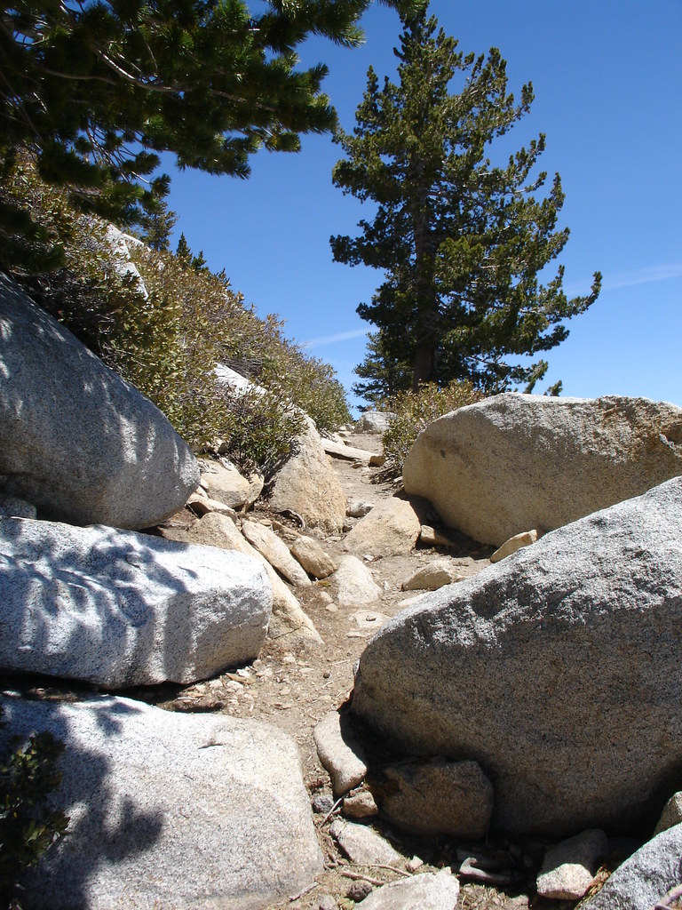
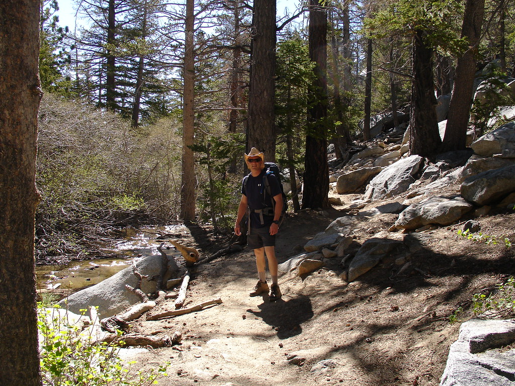
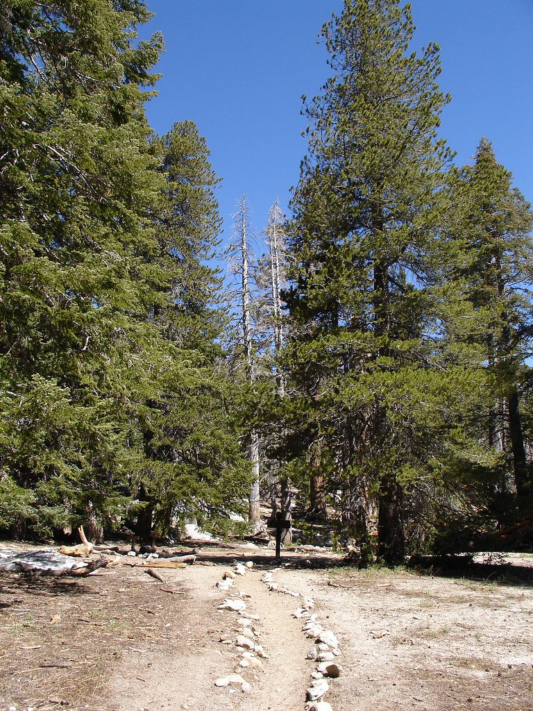
We followed the Southwest trail towards Round Valley. The trail was somewhat rustic and had lots of boulders and fallen trees to negotiate. We were in a beautiful forest of Jeffery Pine and huge White Fir. We followed the Round valley stream up towards the Western end of Round Valley.
We continued past a seasonal ranger station and a couple of campgrounds. We saw a beautiful meadow that just seemed out of place over 9000 feet in the mountains. The last chance for drinking water was a piped spring near the camping areas that said to filter the water before drinking. I'll stick with the 2 liters of water I brought in my Camelbak.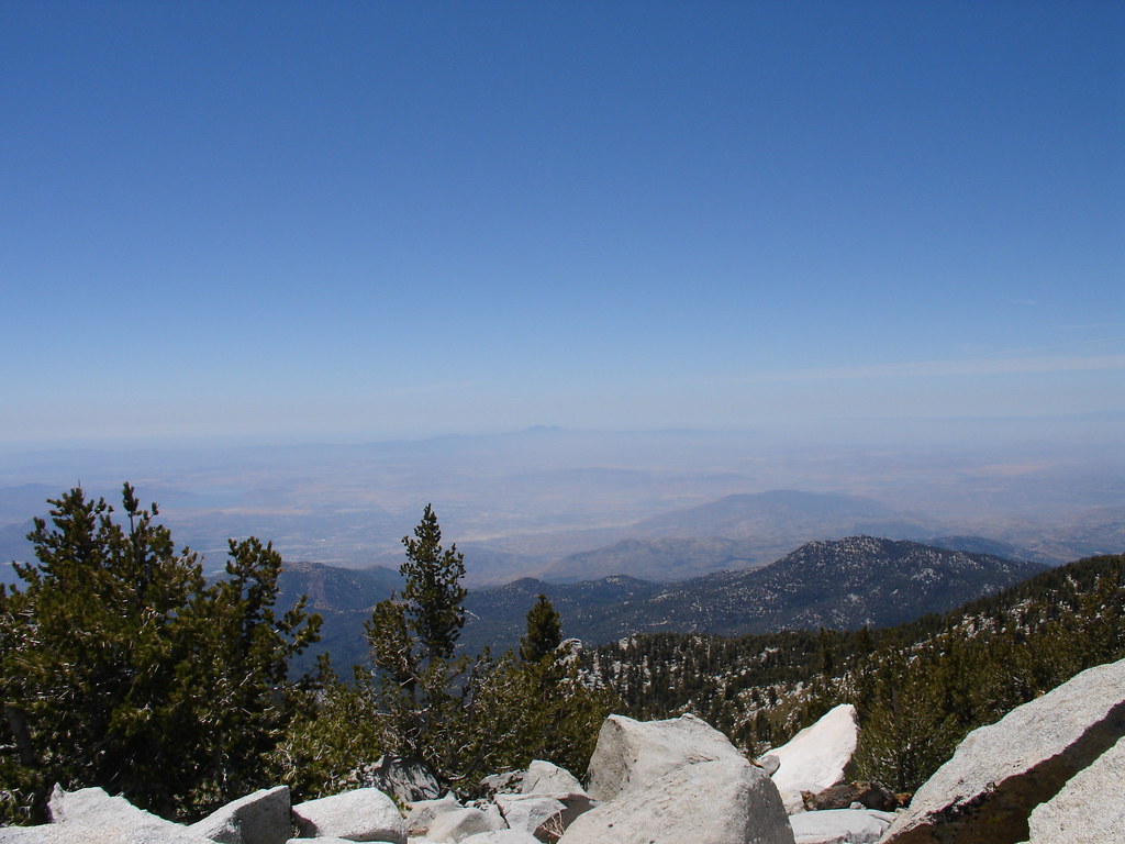
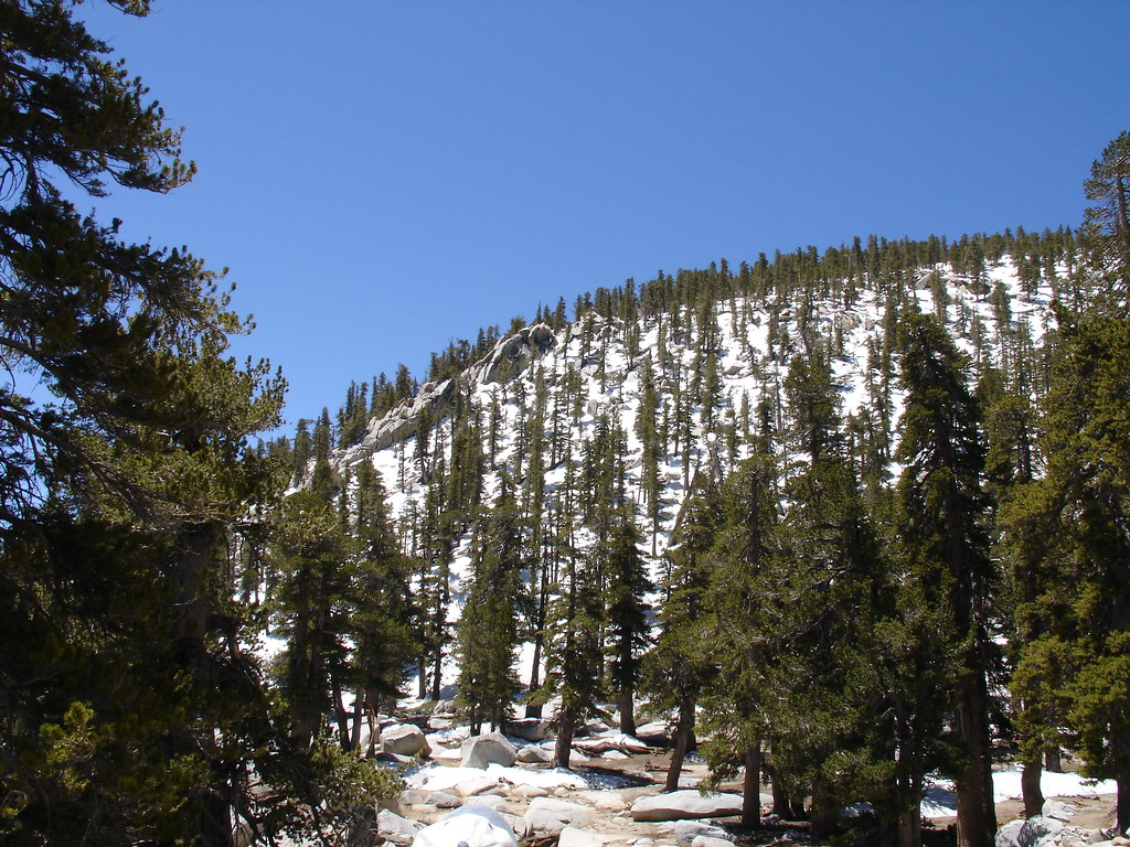
As we kept climbing, we started seeing more snow left over from the winter. There were thick snow banks hiding from the sun in the shade of the trees. We began to see the summit. It was WAY up there still. The forest opened up into thick fields of chinquapin dotted with large boulders and the occasional lodgepole pine. We started up the steep switch backs leading to the summit.
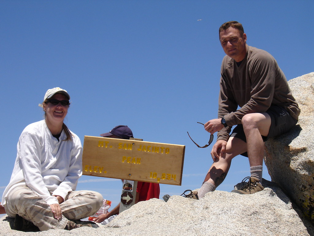
The snow became more frequent and we actually lost the trail for a while. It wasn't hard to figure out where to go. Up. After a few wrong choices we were soon climbing over the huge boulders that make up the summit of Mount San Jacinto. I could finally see the sign marking the feat and found other hikers taking in the views and taking off their boots.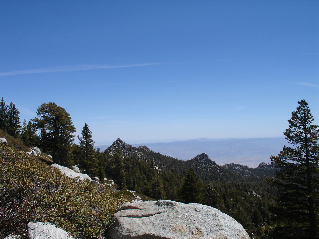
I had a whole bag of travel bugs that made the journey with us. I took a picture of each one on the sign at the summit. It took a long time to upload each picture to every bug's page and I hope the owners enjoy it.
Soon we were on our way back down. We found where we had missed a switch back and lost the trail. I soon realized that down is tough. My legs were tired. those steps down the trail and off of rocks hurt every time. We didn't take the time to search for any geocaches up there because we need our hotel room to save us.
The trail down seemed to take forever. It seemed so much more steep going down and we wondered how we ever made it up in the first place. The whole way back we kept talking about how great it was and about how badly our feet hurt. The mileage on the GPSr counts off very slowly when you are traveling along switch backs. We retraced our steps and finally made it back to the tram's Mountain Station.
The Tram ride down was full of people and I was imagining my feet soaking in the hot tub. We grabbed some take out and limped up to our hotel room. Second floor, go figure. We did a lot of sitting that night. When I zipped off my pant legs I forgot to put sunscreen on my legs and got a nice little sunburn on the backs of my legs.
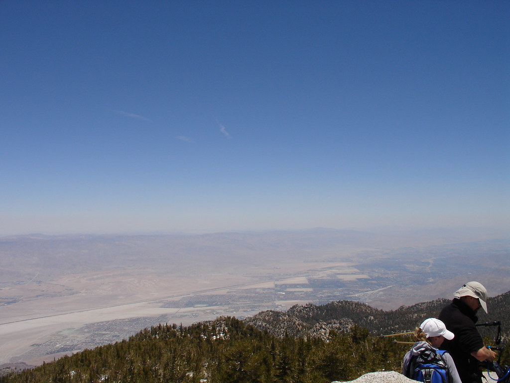
We had done it. We made it to the top. The hike was no joke. 11 miles of steep rugged terrain. I was over packed and my knees were letting me know. The views were the best Southern California has to offer. We could see all of the other mountain ranges of SoCal as well as spectacular coastal and desert views. We hadn't even reached the tram and The Wife was planning our ascent to the highest peak in Southern California, San Gorgonio. I think the best investment I made for this trip was a pairs of Thorlos socks. They kept my feet dry and I'm sure I would have had some blisters without them.
The next day was going to reach 100 degrees in Palm Springs and our legs were not ready for the desert hikes and geocaching I had planned. We went for a walk near our hotel and picked up 6 finds along a nice bike path. That 4 mile walk was all we could handle and we surrendered to relaxing and activities that include sitting. While we were walking along a golf course back to our hotel we were watching two large coyotes looking for food in the wash. One of them was on the fairway for a bit. A woman was walking three small dogs in front of us and when one of them barked, the coyotes quickly approached. The woman was unaware of the danger her pooches were in. I got to where the coyote was stalking the dogs along the path and yelled at it. The coyote retreated and I warned the woman that her dogs were being watched.
This has been my favorite trip in the outdoors so far. While I did log the San Jacinto Summit virtual cache, the summit benchmark and an earthcache, the remaining traditional caches on the mountain will have to wait for another day.
I took way too many photos to post here so check out the rest at my Flickr page.
Tuesday, June 3, 2008
Mount San Jacinto Summit Trip


Tuesday, April 15, 2008
More San Diego Geocaching: Part II
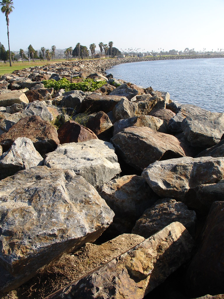
After class I had Duncan's coordinates and I headed back out to the edge of Mission Bay Park. Everyone else in my class was headed home after a long day of regression analysis. Not me, I'm a lunatic. I finally got my hands on the cache that had eluded me earlier in the day. I dropped a geocoin that I had picked up over the weekend. Duncan's coordinates weren't too much better so I added mine to the log to add to the fun. Then I suggested loading all three sets of coordinates, putting your GPSr on a rock and looking under everything. These large rocks line the entire edge of the bay. They can make for some pretty tough searches. The large ugly spiders and stray cats don't help either. My next move was over to Tecolote Canyon Park. There is an earthcache in the park and I have yet to log a find on one. Way out in the outfield of one of the many ball fields there is a sign explaining the Rose Canyon Fault Zone. It was interesting to learn about this fault and the extreme difference in ages of the material on either side. I blacked out a portion of the sign containing the information needed to log a find on this earthcache.
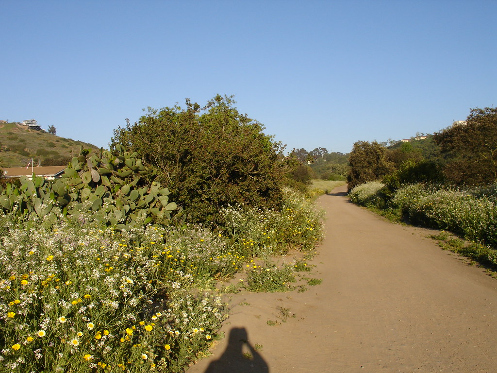
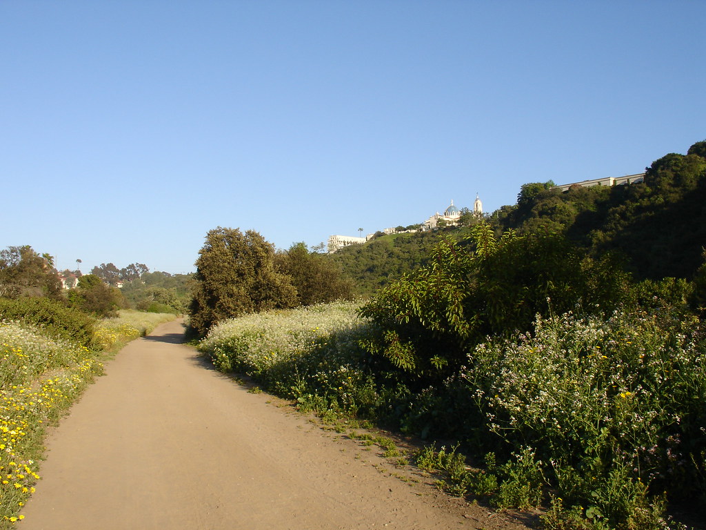
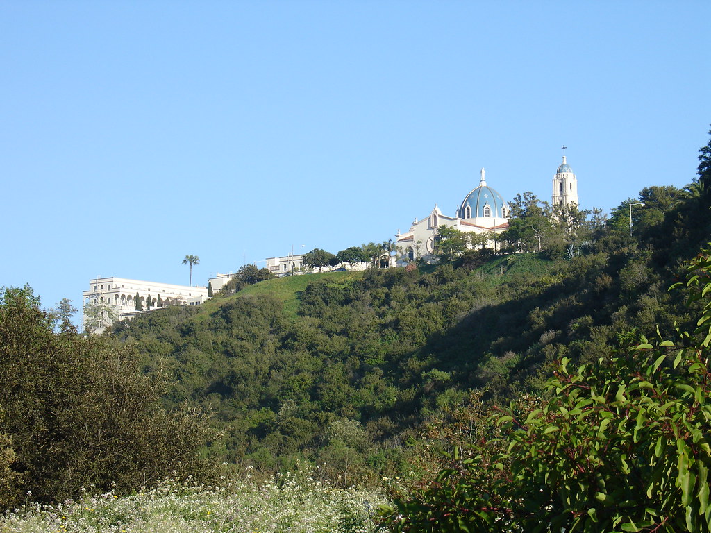
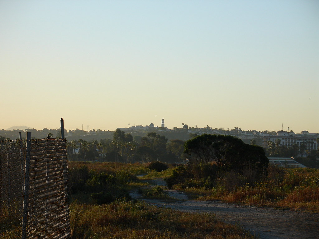
The trails here are great. They are gravel/dirt trails that are very wide. There is plenty of room for the muggles on bikes to pass safely. As I walked along the trail I had a great view of USD (University of San Diego) up on the bluff. I found a nice cache along the trail. It was a pretzel type container covered with camouflage duct tape. The clock tower at USD rang out it's announcement of 6:30 PM. I thought, "Wow, I was geocaching 12 hours ago." More evidence that I may be certifiable.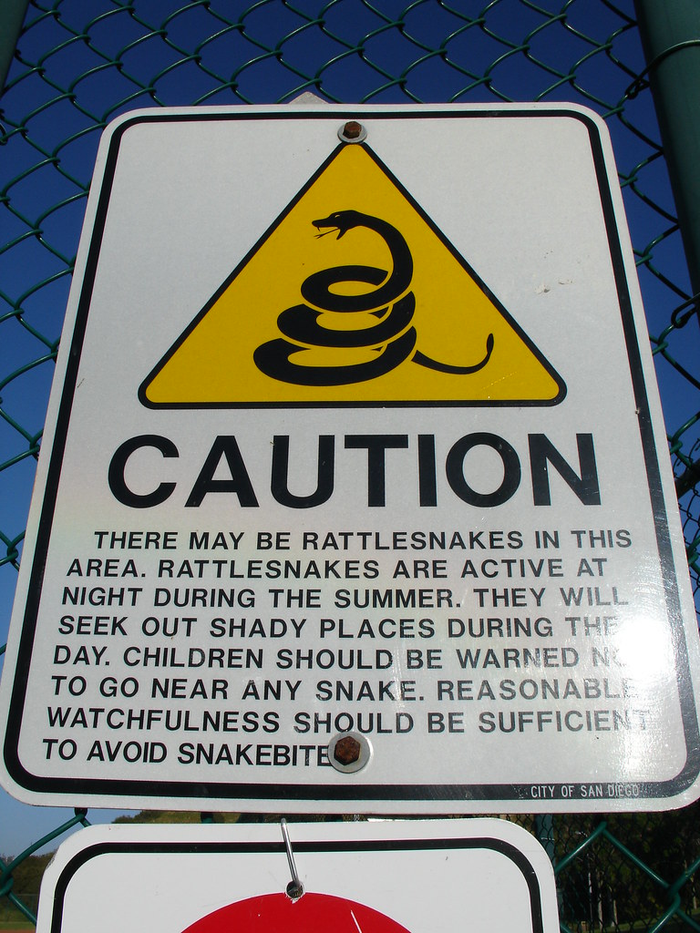
This was another pretzel type container under a cool old tree. I spotted the container from one side and circled around to retrieve it. When I got to the other side, I couldn't find it. Pushing a few branches around revealed that I was almost kneeling on the cache. That Duct tape works well! I decided that was enough for the day. I was already going to end up getting home at nearly 8:00.
As I was headed back over to the trail I noticed a baseball laying in the weeds. Not a very odd find since I had passed 10 ball fields to reach the trail head. I picked up the ball and headed back towards the car. I was tossing the ball in the air and noticed it had been signed. Upon closer examination I realized that this baseball had been signed by QDman. HA! If you don't know, QDman has an excellent photo blog called Geocaching Pics. I've been reading his blog and enjoying his pictures for a while. There is also a link in my sidebar to his site. Add it to your subscriptions, it will not disappoint. I'm not sure how the ball got in the weeds, but it's a pretty cool memento.
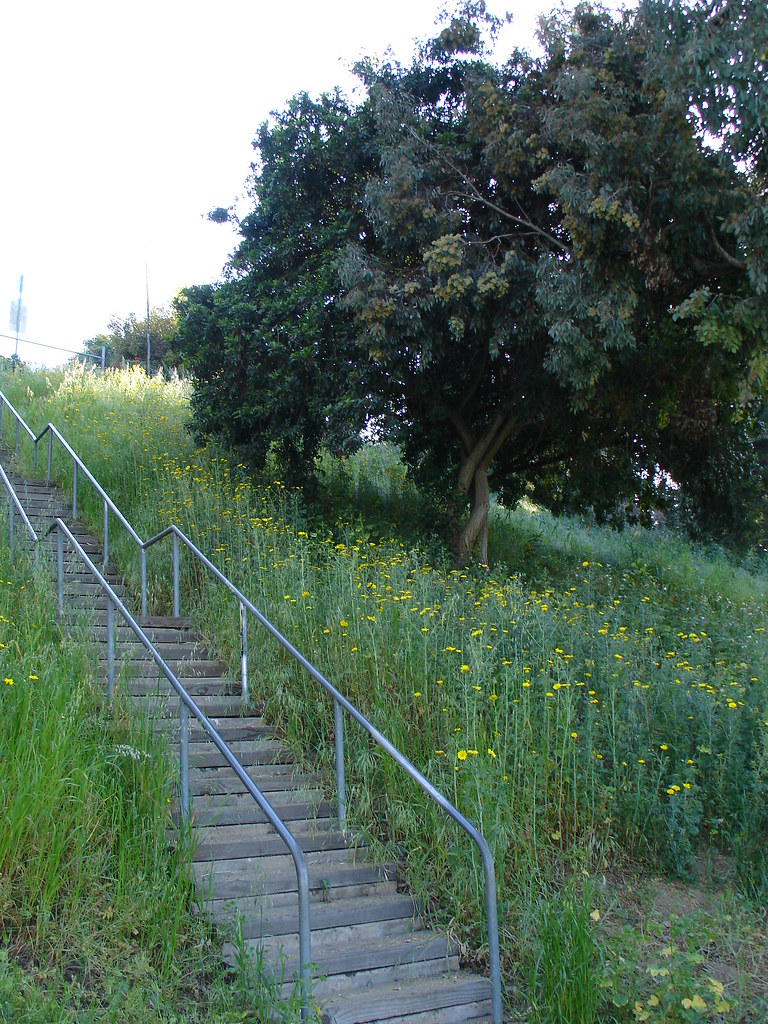
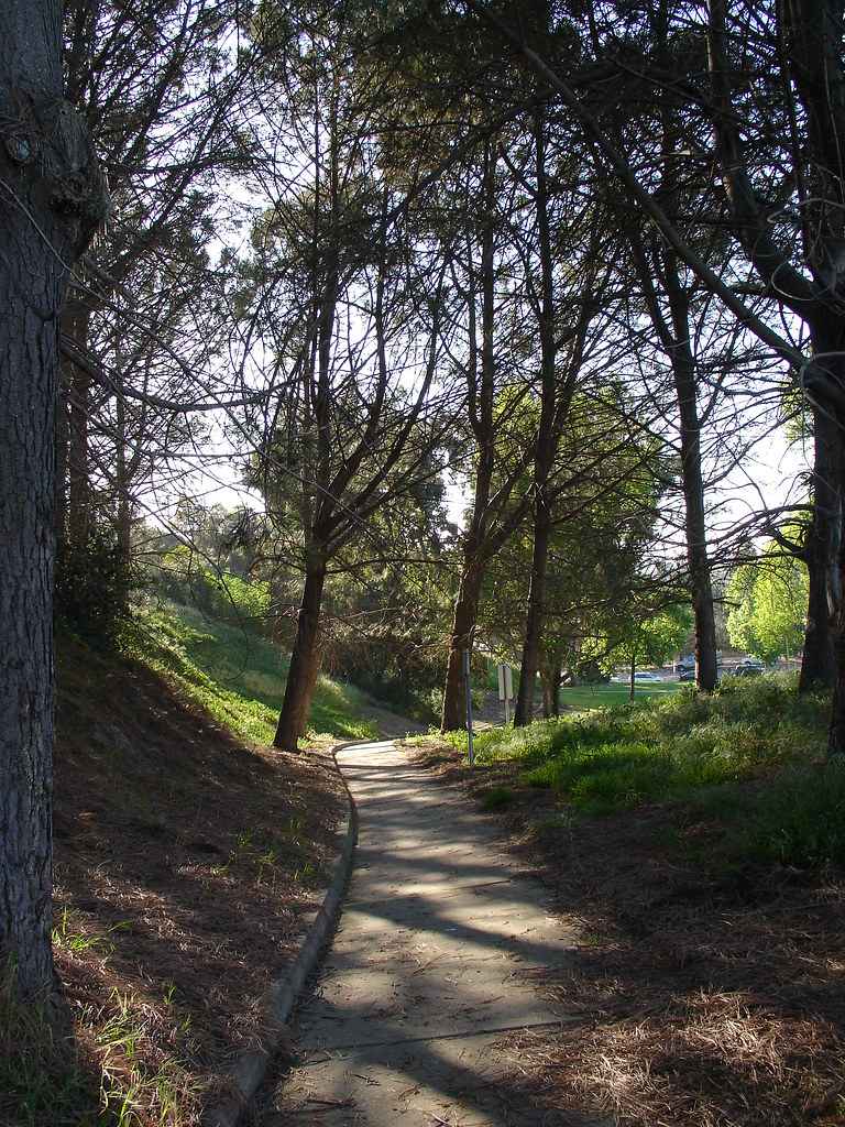
I got a couple of photos of a nice walkway and of the cool staircase leading into this great park. There are a bunch more geocaches in this area and the park is a must do if you are looking for quality hiking trails in San Diego.
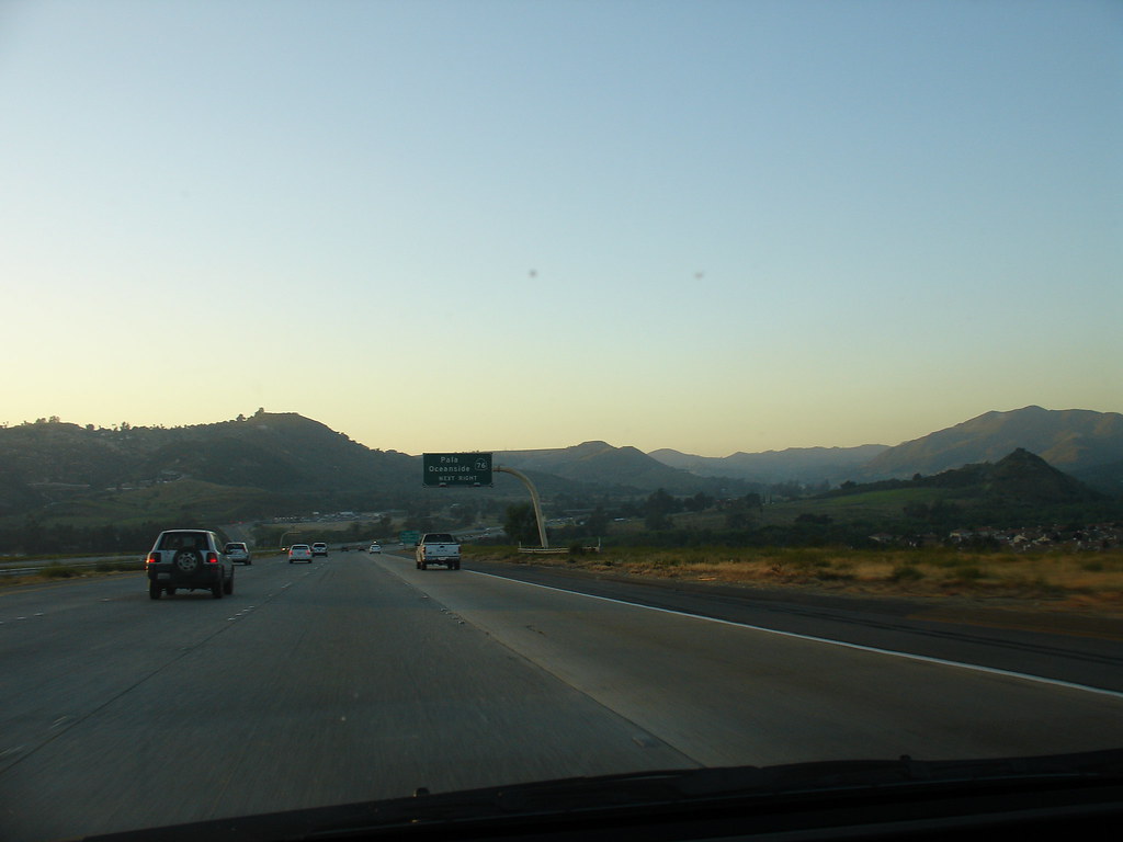
I ended up finding 7 regular geocaches and 1 earth cache. On the way home I snapped a picture of my favorite stretch of my daily commute up the North 15. the view is actually better before you drive all the way down into the valley but I couldn't get my camera out of my Camelback in time. I had a great day. Oh yeah, I was in training for 9 hours in there. I love this game!
On a side note, My Google Reader is telling me that I have 36 blog posts to catch up on. That's all from various geocaching blogs that I subscribe to. Looks like geocaching season is heating up in the rest of the country! And it looks like I have some reading to do.


More San Diego Geocaching: Part I
 This week is week 3 of my 6 Sigma Black Belt training. Once again I am down on Mission Bay for the week. My geocaching day was in two parts, before class and after class. I'll break down the story into two posts to make it easier for everyone. I like to ramble on with my long winded stories and I have a lot of pictures to share. Bear with me. (Click any image to enlarge)
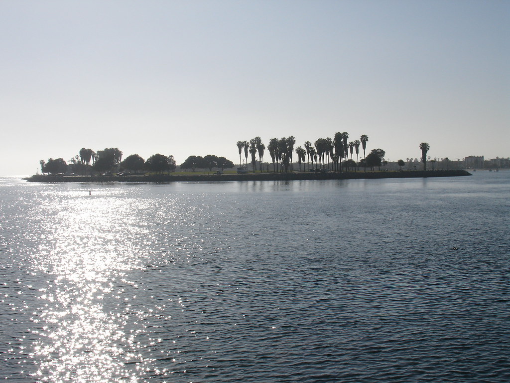
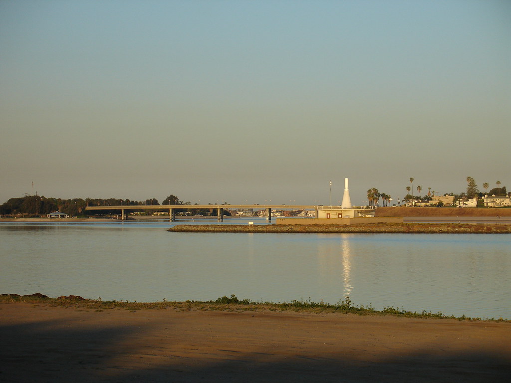
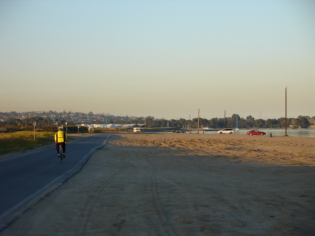
Part I: There have been some new caches added since my last trip to Fiesta Island. I arrived at the island around 6:30 in the morning and the sun was just barely ready to peek out above the hills. I quickly found my first cache of the day. It's nice when you find a lock and lock in such a public place. Walking back to my car, I was humbled by the beautiful sunrise seen above.
As I approached Ground zero of the second cache, I was stopped 80 feet short of pay dirt by a chain link fence. I walked a little ways each way but did not see an entrance. I wasn't going to jump the fence and the clock was ticking so I was off to the next cache. When I found the decon container hiding in a bush, I saw the entrance to the inside of the fence that I was looking for earlier. Nice! Let's go!
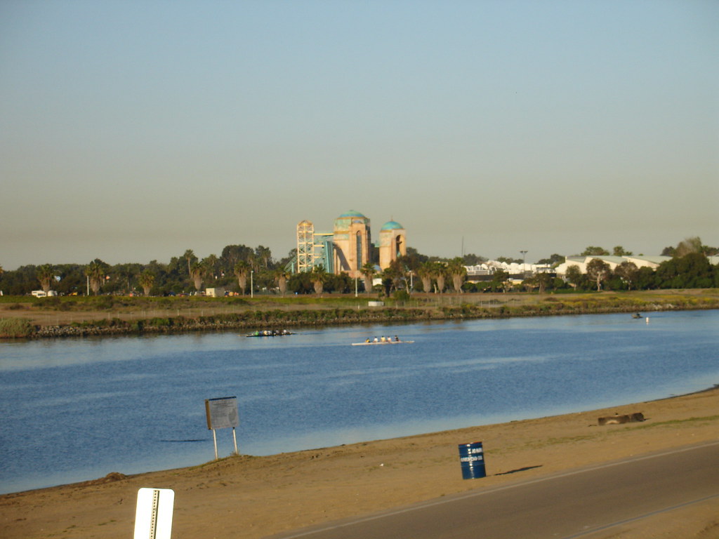
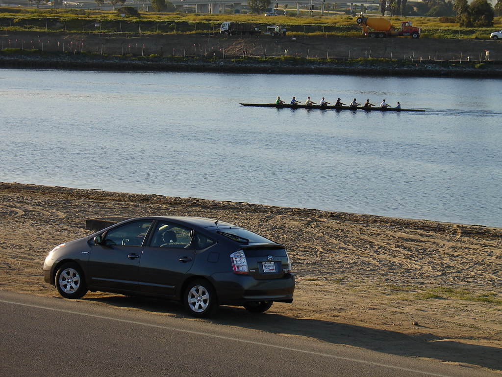
As I walked back to my car, the sun was shining, the crew teams were out practicing and I was at the edge of the Pacific Ocean. My race Prius looked as if it were posing for a Toyota commercial. I stood on the berm at the edge of the road and just enjoyed the views. I could see SeaWorld and I was glad I live in Southern California.
I grabbed the cache I had forgotten to look for last time I was here and I had just enough time to get over to the conference center, change my shoes, get a cup of coffee and set up my laptop for class. On my lunch break I walked the half mile to a new cache that had been placed since my last time down here. 
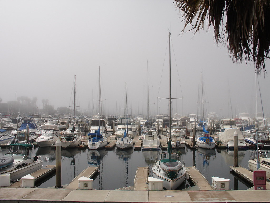
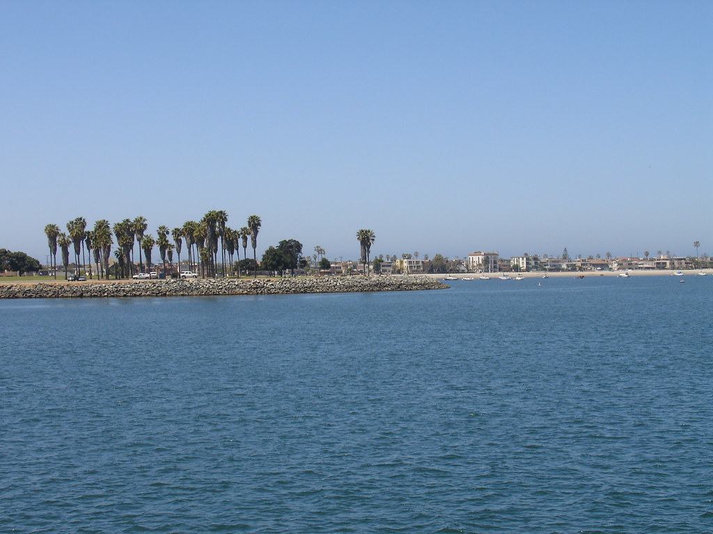
Something rather strange happened at 1:30 in the afternoon. All of the sudden, the fog rolled in off the ocean. It got very windy and the temperature cooled down about 10 degrees. I snapped a picture from just outside the classroom looking out in the marina. (It can be hard to focus on statistics when you have a view like that out the window.) An hour later the fog was gone and it was sunny again. Mystery fog. Just enough to scare a GPS purchase into an unsuspecting novice boater!
Geocaching around Mission Bay was a great way to start my day. Here's a new geocaching slogan for you; "Geocachers, we turn over more rocks before 7:00 am than most people do all day!" Stay tuned for part II where there are signs of rattle snakes!

Sunday, April 13, 2008
Morning Geocaching and Another FTF
 I woke up around 6:00 this morning and booted up the computer to see if there were any new caches published. As my 8th grade history teacher, Mr. McKinley would say, "Well lookie lookie, the dog pooped a cookie." There was a new geocache published about 9 miles from home. I loaded up the GPS, grabbed some travel bugs, filled up my coffee mug and was on the road.
The roads in Temecula were empty this morning, however, the traffic lights were turning red just to spite me. I got through the phantom traffic and was quickly ascending the road that leads into the hills just West of town. As I was rounding one corner, two coyotes were just entering the bush after having just crossed ahead of me. I was thankful they were safely in the greenery and not tattooed to my bumper. I pulled onto a side road and then off into the dirt just as my GPS beeped the announcement of my arrival to the cache area. The arrow on my Garmin Etrex Vista was pointing to a tree just off the road. It wasn't long before I had the small mint container in my hands. I opened the log to reveal an unsigned empty page. It was my first opportunity to put my new signature first to find log entry down on paper. "Hick@Heart was first to paint this blank canvas. FTF!!!" The FTF prize was a $1 casino chip from nearby Pechanga Casino. I think I'll make a travel bug out of it. There was also a geocoin that I picked up and I left a travel bug dog tag. This cache was just off of my favorite kind of road. The type of road that I don't know where it goes, but it looks like it would be really fun to go find out.
There were a couple of other caches up here that I needed to grab and I had another travel bug that I needed to drop off. I was soon thumbing through the contents of an ammo can named Pam's Betty Boop. I grabbed a couple of bugs from here to take down to San Diego geocaching next week. This cache boasted a spectacular view of the Temecula Valley. The sun had risen above the mountains to the East and the entire valley was awash in it's power. There were hot air balloons carrying passengers over Temecula's wine country and I felt like a giant peering down over a miniature city. I cold also see the 10,834 foot peak of Mount San Jacinto and the 11,499 foot peak of San Gorgonio. The fact that I have not climbed these mountains will not stay true for long as I am planning to summit San Jacinto later this year. I stayed and enjoyed the view and enjoyed the feeling of finally being HUGE! From there, I moved to another cache that was a camouflage ammo can hiding in the bushes. I picked up another travel bug which turned out to be only half of a travel bug. I'll post about that as I get more information from the owner.
It was really nice to be out in the hills before the heat of the day. It's been in the 90's and a welcomed cool down is on it's way. I picked up four caches, a geocoin and 3 travel bugs. I love being out in nature. I guess the moniker "Hick@Heart" is pretty fitting.


 San Jacinto on the left.
Saturday, March 22, 2008
Solo Geocaching
 The Boy was in no mood for geocaching today. I tried everything to convince him it would be a good time. Who wouldn't want to hang out with me, right? Ok, well maybe I don't blame him. I knew that dragging around a 6 year old that didn't want to be there wouldn't be that much fun so I did some solo caching.
I had the Fozzie bear travel bug that I wanted to drop off so I started my trip at a regular sized cache. This was a 50 cal ammo can right next to a business. By right next to, I mean RIGHT NEXT TO. Right at the large glass windows near the front of the business. The cache owner got permission from the owners to put it there. Some logs mention employees coming out to give hints as to the location of the cache. I dropped off Fozzie and picked up Doug. So it was me, Doug and a list of nearby caches. Ready for action!
I picked up a bunch of caches today. A few were skirt lifters. There were some that were "hide a keys" stuck to various street signs. I even got 2 out of storm drains. One cache was a piece of trash. I'm not sure how I feel about a geocache hidden inside a rusty old soup can and thrown in a field. I guess an ammo can could be considered junk too. It was somewhat of a tough find. It's amazing how you can completely overlook a piece of trash. There were plenty of caches that had something interesting to check out. A couple were at some nice fountains. One of them was at this odd rocket sculpture. Those are the urban caches I like. I know where Lowe's is thank you very much. I did not know where this rocket thing was and I was glad to have found it. I even got a picture of Doug at one of the fountains. Since Doug is just a useless plastic head that tours the world, (kind of like Joan Rivers) he couldn't get any pictures of me.
One cache was a micro, hidden in a huge oak tree. As I'm walking up to this giant tree I'm thinking, "Great, there's a micro hidden in there." After a couple of minutes, I spotted the match container hanging in the branches. It was wrapped on with wire and you could only remove the lid and retrieve the log. I quickly found that this tree was infested with ants. Lots of ants. As I'm signing the log I could hear large dogs barking and they sounded like they were getting close. So here I am, trying to get this log back in the container. The branches are trying to poke my eyes out, the ants have claimed me as their territory, the dogs are going to eat me and I have convinced myself that the soft ground cover is filled with rattle snakes. Basically, I'm freaking out. I got the log back in and was a big man again once I was safely back in my car. The only problem was that the ants came with me. I picked them off and was on my way.
Today was my biggest day geocaching as far as numbers are concerned. I've had bigger days as far as bonding with my son is concerned. I had 19 finds, one DNF and one did not attempt. It was nice to be by myself for a while. Even though today's geocaches were urban, they were all in industrial areas and no one was around. Just me and Doug. Thanks, Doug.
We decorated some eggs tonight and I'll share a picture of that too.

Another fountain


I took this picture to try and look natural as muggles passed. It turned out kind of nice.

Happy Easter!

Have an Idea? Open your free online storefont here.


